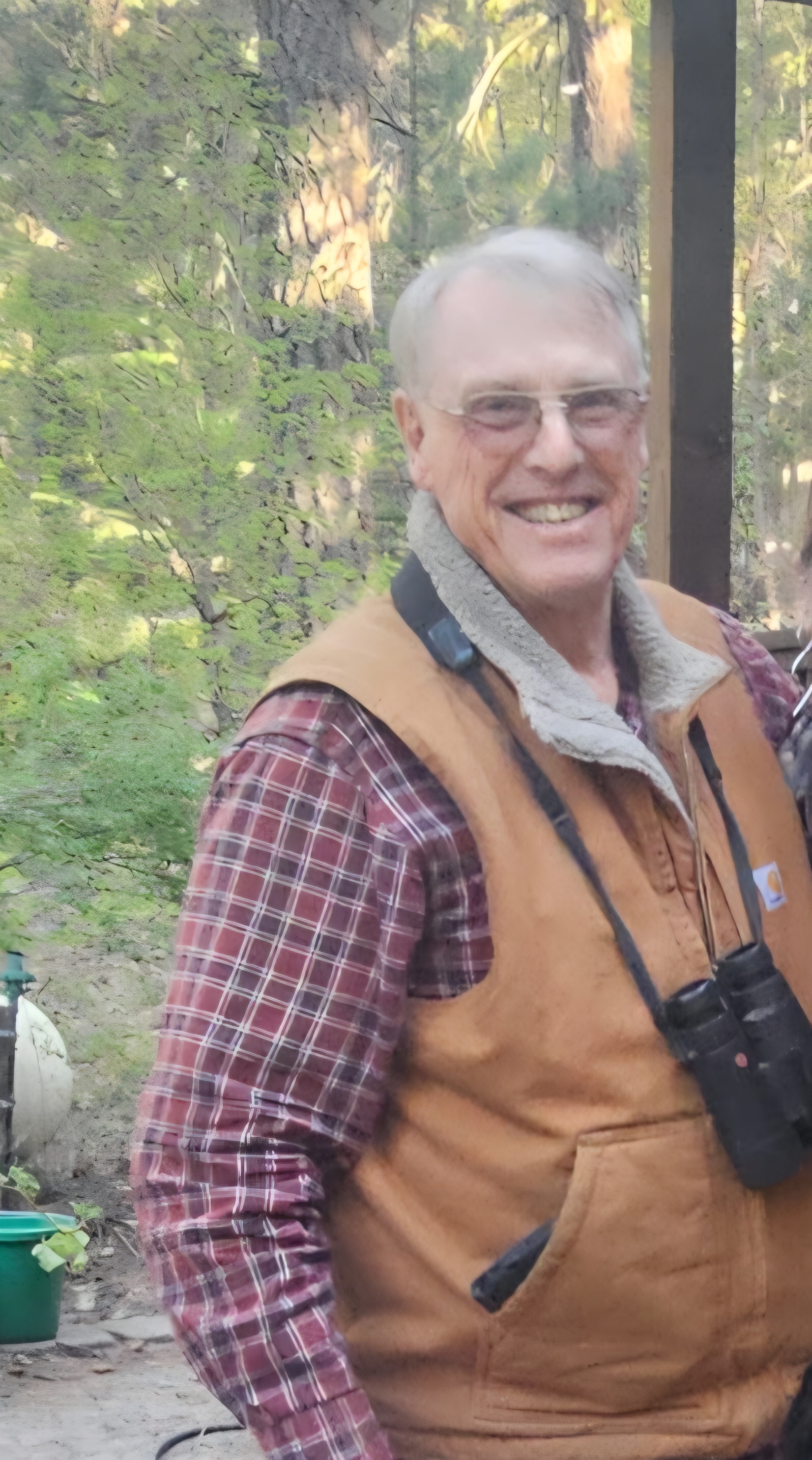
Field Form I. Yellow-billed
Cuckoo
Survey and Detection Data
Site code ¨
¨ ¨
¨ ¨
¨ ¨
¨ ¨
¨ Visit # _____ Date
(mm/dd/yy): __________
| State |Drainage code| Site code |
Site Name:___________________________USGS Quad Name:
_________________Scale (circle): 1:24000 1:62500
County: ______________________Management Unit or Owner:
_____________________________________
Ownership (circle all that apply):1-BLM 2-BOR 4-NPS 3-USFS
5-NWR 6-Tribal 7-State 8-Private 9-Other_______
UTM Site Coordinates: Start:
¨¨¨¨¨¨¨E
¨¨¨¨¨¨¨N
Stop:
¨¨¨¨¨¨¨E
¨¨¨¨¨¨¨N
Collect GPS data in Zone 12 (Arizona) or Zone 11
(California) using NAD 83
UTM Source (circle): 1 - PLGR 2 - post processed (YES___
NO___ ) 3 – generic 4 - Map Site elevation: ________ m
Length of area surveyed (sum segments): ___________ km
Est. area of patches (total area surveyed): ________ha
Start time: __________ Stop time: __________ Total hrs.:
__________
UTM coordinates for individual patches
within this site
# Stops Patch #
Start coordinates Stop coordinates YBCU?
Photo#'s
___1 ________E
_________N ________E _________N ____ ____ ____
___2 ________E _________N ________E _________N ____ ____ ____
___3 ________E _________N ________E _________N ____ ____ ____
___4 ________E _________N ________E _________N ____ ____ ____
___5 ________E _________N ________E _________N ____ ____ ____
___6 ________E _________N ________E _________N ____ ____ ____
___7 ________E _________N ________E _________N ____ ____ ____
___8 ________E _________N
________E _________N ____ ____ ____
Distance Between patches (m)
1® 2 ______ 2®
3 ______ 3® 4 ______ 4®
5 ______ 5® 6 ______ 6®
7 ______ 7® 8 ______
Estimated area of patches (ha)
1 ________ 2 ________ 3 ________ 4 ________ 5 ________ 6
________ 7 ________ 8 ________
Remember to take photographs of habitat in each patch and
to attach a copy of the USGS quad section.
Site code ¨
¨ ¨
¨ ¨
¨ ¨
¨ ¨
¨ Visit # _____ Date
(mm/dd/yy): __________
|
YBCU detect #
|
Patch
# |
Surveyor
use all three initials |
Time
((24 hr) |
Detect. type:
1-Casual:
A = aural
V = visual
B = both
2-Playback: A, V, or B |
Vocaliz.
Type
1 - kowlp
2-knocker 3 - coo 4 - one note
5 -other
6 -none |
Breeding
Status:
M-mated
S -single
U -unk.
N -nest
(saywhy
in notes) |
Age:
A-adult
J-juven. U -unk. |
Sex:
M-male
F-fem.
U-unk.
A, V, B |
Note# |
Detection UTM=s
(Where first detected)
Use GPS if possible.
If not, calculate from map. |
| 1 |
. |
. |
. |
. |
. |
. |
. |
. |
. |
X E |
| |
| 2 |
. |
. |
. |
. |
. |
. |
. |
. |
. |
X E |
| |
| 3 |
. |
. |
. |
. |
. |
. |
. |
. |
. |
X E |
| |
| 4 |
. |
. |
. |
. |
. |
. |
. |
. |
. |
X E |
| |
| 5 |
. |
. |
. |
. |
. |
. |
. |
. |
. |
X E |
| |
| 6 |
. |
. |
. |
. |
. |
. |
. |
. |
. |
X E |
| |
| 7 |
. |
. |
. |
. |
. |
. |
. |
. |
. |
X E |
| |
| 8 |
. |
. |
. |
. |
. |
. |
. |
. |
. |
X E |
| |
Survey summary: # Adults_______ # juveniles_______ # territories_______
# pairs_______ # singles_______
Survey Team (names and 3 initials):
_____________________________________________Date (mm/dd/yy): ________
Additional Bird Species Detected (use A.O.U. codes)
Site code ¨
¨ ¨
¨ ¨
¨ ¨
¨ ¨
¨ Visit # _____ Date
(mm/dd/yy): __________
Vegetation Characteristics: Overall, the species in the
overstory and understory over the majority of the site are
(check box):
¨
Native: > 75%
¨
Mixed: 51-75% native
¨
Mixed: 51-75% exotic
¨
Exotic: > 75%
For overstory and understory characteristics (below), dominant species
are those representing a majority of the
sampled cover throughout the site. Codominant (2nd, 3rd, etc.)
should also be ranked to reflect their relative
proportion over the entire site. Substantive differences among patches
within the site should be noted in comments,
below, or on the last page.
Overstory (rank dominant species for the site): ¨Cottonwood¨
Sycamore ¨
Willow
¨
Mesquite ¨
Tamarisk
¨ Alder
¨ Other
(s)________________________________________________________________________
Avg. Canopy Height (est. for site): ______ m Est. Canopy
Cover (check box): ¨<
26% ¨26-50%
¨51-75%¨76-100%
Understory (rank dominant spp. for the site): ¨Cottonwood¨
Willow
¨Mesquite
¨Tamarisk
¨Ash
¨Alder
¨Arrowweed
¨
Baccharis
¨ Other
(s)__________________________________________________________
Avg. Understory Height (est. for site): _____ m
Understory Cover (est.):
¨<10%
¨10-25%
¨26-50%
¨51-75%¨76-100%
Is surface water present within 300 m of this site? YES_____ NO _____
Is that true for all patches? YES_____ NO _____
Describe in comments the nature (type, size) of water (when present) and
note differences among patches within the site.
Remember to describe in comments any substantive variation between
patches. For example, the average canopy cover for
the site is 30%, but within Patch 3 it is 60%. Similarly, if other
vegetation parameters show considerable variation it
should be noted. Document these differences with photographs whenever
possible. Be sure to reference comments to
appropriate photo #s and note #s. Photos should provide both overviews
and details of the habitat and, of course, any
YBCU locations.
| Note # |
Comments (general,
or specify note #): |
Photo #s |
| |
|
|
| |
|
|
| |
|
|
Data proofed by: ____________________________ Date (mm/dd/yy):_________
Affiliation:_________________________
-----------------------------------------------------------------------------------------------------------------------------------------------------------
Database entry by: ___________________________ Date (mm/dd/yy):_________
Affiliation:_________________________
Site code ¨
¨ ¨
¨ ¨
¨ ¨
¨ ¨
¨ Visit # _____ Date (mm/dd/yy):
__________
Use the space below for site access directions,
additional comments, notes, drawings of cuckoos, etc
Detailed Habitat Measurements
Canopy Height:
Point # Sum
1_______%slope x _______m = _______ Multiply the % slope (from observer
to top of canopy) by
2_______%slope x _______m = _______ the distance to the tree (m).
3_______%slope x _______m = _______
4_______%slope x _______m = _______ Sum the individual canopy heights
and find the mean.
5_______%slope x _______m = _______
6_______%slope x _______m = _______
7_______%slope x _______m = _______
8_______%slope x _______m = _______ Mean canopy height: _______
m
9_______%slope x _______m = _______
10_______%slope x _______m = _______
Canopy cover:
Point # Sum
Avg./Pt.
1 _______quad 1 _______quad 2 _______quad 3 _______quad 4 = ____ ____
Sum the % cover for each of
2 _______quad 1 _______quad 2 _______quad 3 _______quad 4 = ____ ____
the four quads at each point.
3_______ quad 1 _______quad 2 _______quad 3 _______quad 4 = ____ ____
4_______ quad 1 _______quad 2 _______quad 3 _______quad 4 = ____ ____
Find the average canopy cover
5_______ quad 1 _______quad 2 _______quad 3 _______quad 4 = ____ ____
for each point.
6_______ quad 1 _______quad 2 _______quad 3 _______quad 4 = ____ ____
7_______ quad 1 _______quad 2 _______quad 3 _______quad 4 = ____ ____
Sum the average values for
8_______ quad 1 _______quad 2 _______quad 3 _______quad 4 = ____ ____
each point and find the mean
9_______ quad 1 _______quad 2 _______quad 3 _______quad 4 = ____ ____
canopy cover.
10_______ quad 1 _______quad 2 _______quad 3 _______quad 4 = ____ ____
Mean canopy cover: ________%
Understory density:_________no.
Stems per sampling circle
_________no. Stems per sampling circle
Habitat measurement protocol:
|